
Vernon Neighbor Records by Block
A block lookup works by combining land, address, and historical sources. Each answers a different question. Vernon GIS defines the physical scope, while the assessor supplies tax-owner and parcel details. Deeds explain ownership changes. Voter data has legal limits and does not create a casual street roster. Library sources can show past households, but they do not establish who is present today.
| Source | What it shows about a block | Access |
|---|---|---|
| Vernon GIS | Lot boundaries, MBL, acreage, adjacent parcels | Free map with Find, Identify, and Print |
| Assessor cards | Tax owner, situs, mailing address, class, value, transfers | Free search, one parcel at a time |
| SearchIQS deeds and maps | Legal descriptions and historical ownership links | Split online coverage; Town Clerk for older material |
| Building and zoning | Projects and land-use context by address | Current OpenGov route; written request for gaps |
| Directories and newspapers | Past occupants and civic references | Library, VHS, and CTDA |
| Voter records | Restricted registration, district, and status fields | Name lookup or controlled statewide file |
Ownership is not occupancy. A card may show an out-of-town mailing address, several structures, or a parcel class that does not map to one household. Describe only what the source establishes.
Define a Vernon Neighbor Block
Choose a repeatable scope before collecting records. Use the nearest intersection at each end, include both sides of the road, and label lots that touch only at a corner. Save the start address and map date. Then number adjacent parcels clockwise and record each LSRN or MBL, Vernon's map and parcel identifiers.
A road, watercourse, municipal lot, shared complex, or open-space parcel can break the assumed line of neighbors. GIS geometry is more reliable than a guessed radius. Draw and Measurement can mark the segment, while Print preserves the work for later review.
Map Vernon Neighbors Parcel by Parcel
The public Vernon GIS viewer exposes Parcels, Parcel Labels, Acres, zoning, FEMA flood areas, points of interest, and imagery from 2016, 2019, and 2023. Find and Identify support a manual adjacent-lot method. The viewer does not promise a radius list of residents.
- Use Find to reach the target street or parcel, then switch on Parcels and MBL labels.
- Zoom to the lot and use Identify on each visible adjacent parcel.
- Record the LSRN or MBL and open the matching assessor card for owner, situs, mailing, and property class.
- Mark roads, water, municipal land, and corner-only contact so the block remains auditable.
- For every parcel on a whole named road, continue with the Vernon street records method.
The official town GIS page links the mapping and property-notification resources used to begin that process.
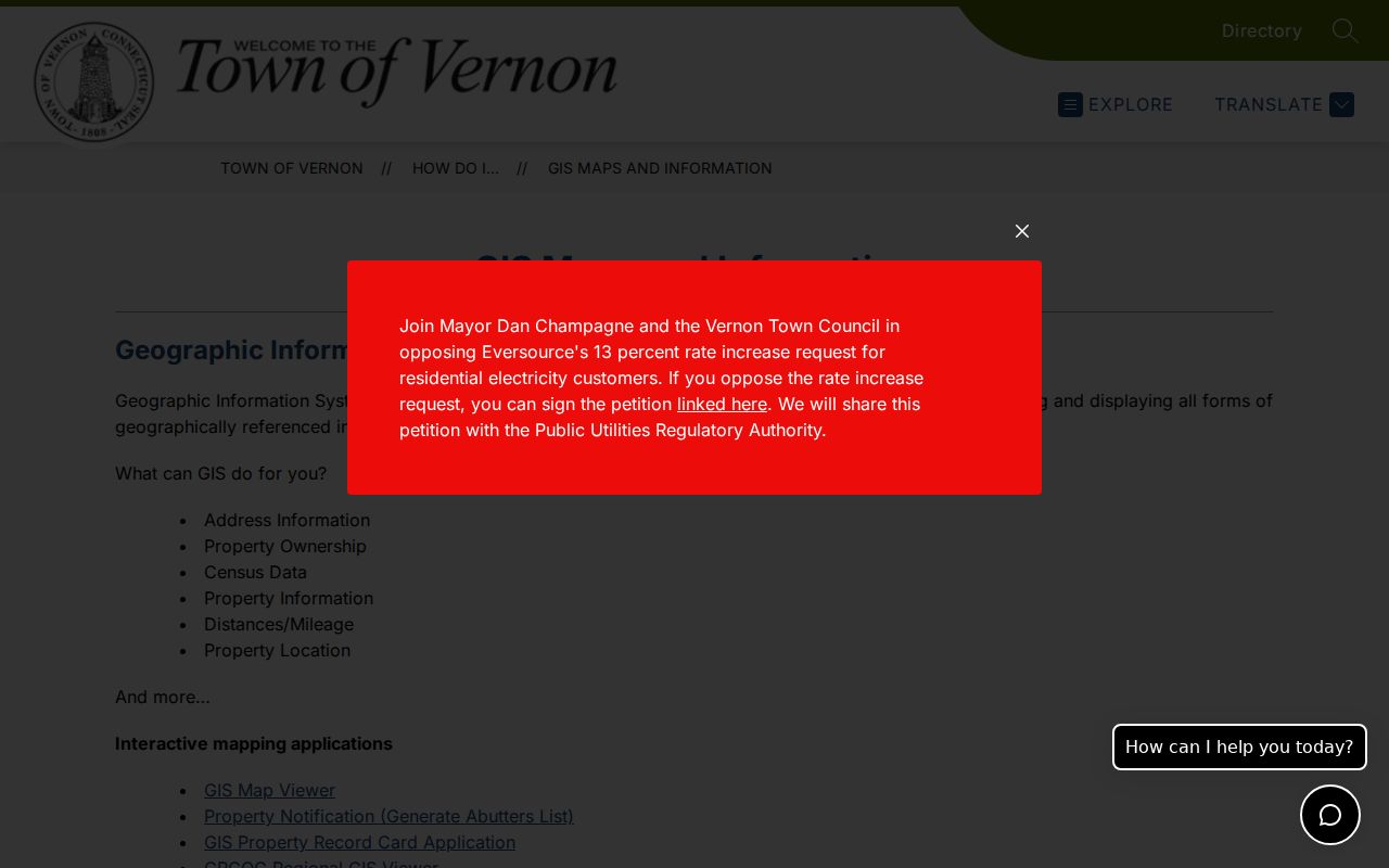
The captured page confirms the town route. Actual owner and mailing details still belong to the assessor card, not the map alone.
Open Vernon Neighbor Property Cards
The Vernon assessor search accepts Property Location or Owner Name. Its results show address, owner, property type, zoning, acreage, MBL, market value, and assessment. Open Card adds mailing and situs fields, transfers, valuation, land, and structure details. GIS Map sends the result back to mapped context.
The town's property-cards page is the official bridge to those tools.
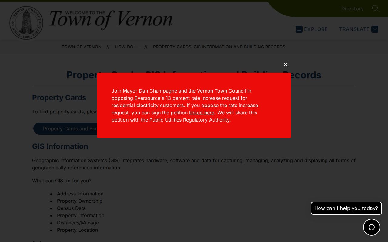
Use that card to classify a parcel, not a person. A large lot may have several structures. A vacant or town-owned lot may have no resident, and an owner with a Hartford mailing address need not live on the Vernon block.
Note: Vernon does not expose a universal homestead flag in the observed result table, so do not infer owner occupancy from the card alone.
Vernon Block Layers Add Context
Turn on zoning, flood, imagery, and civic points only after the parcels are defined. These layers explain the land, not the people. A floodway can separate lots that look close on a road map. A school, park, cemetery, utility parcel, or open-space tract can occupy much of a block without adding a household.
Imagery from three observed years can flag a new structure or lot change. Confirm that clue with a deed, assessor transfer, or building record. Vernon moved Building and Zoning applications to OpenGov, but the inspected public landing page did not reveal a full historical search or field list. Call Building at 860-870-3633 or send a focused request with the work address, project type, and date range when the web path stops.
Vernon Neighbor Community Sources
No official town-wide list of HOAs, block watches, neighborhood associations, or member households was located. The verified public layer consists of civic, cultural, preservation, and history groups. Their public work can explain a district or event, but it must not be turned into a private roster.
Vernon Historical Society
734 Hartford Turnpike
860-875-4326
Collections and research contact
Rockville Public Library
Local directories, newspapers, yearbooks, and town reports
860-875-5892
Local history collection
Talcottville Historic District
Public preservation context, not an HOA or resident list
Town information
Other named public resources include the Vernon Cultural District, Rockville Downtown Association, New England Civil War Museum, Vernon Depot, Strong Family Farm, Friends of Valley Falls, and Tankerhoosen River history sources. No current membership directories were verified.
Historic Vernon Neighbors Need Maps
For past neighbors, compare the 1869 property-owner maps with Rockville Sanborn sheets, regional city directories, census records, and newspapers. Rockville's mill villages may use a company or village label rather than today's street form. Talcottville, Vernon Center, Dobsonville, and Rockville can also steer a collection search.
Market Street is the sharpest local warning. Vernon Historical Society says the Rockville street disappeared during urban renewal in the 1960s. A current parcel or ZIP search will not restore it. Match the old street against maps, deeds, newspaper notices, and legal descriptions before assigning people to a present block.
Directory titles also shift between Rockville, Vernon, and a regional group with Ellington and Tolland. Search the street section or reverse section when available, then compare the name entry for occupation, home address, and phone notation. The public census reaches through 1950 under the federal 72-year rule. Pairing a directory year with the nearest census can reveal a household snapshot, but spellings, route names, and street numbers still need independent checks.
Official Vernon Neighbor Records Compared
Commercial neighbor tools combine marketed and public data, often without showing when an address was last checked. Official sources are narrower but make the keeper and field meaning clearer. That difference is crucial when names are common or addresses have changed.
| Source type | Strength | Limit |
|---|---|---|
| GIS and assessor | Current parcel scope and tax-owner details | Owner is not the full household |
| Town Clerk deeds | Recorded ownership and legal descriptions | Does not name every occupant |
| Library and VHS | Historical directories, maps, and local context | Coverage varies by year and title |
| Commercial category | May combine many address leads | Stale or merged profiles; no custodian guarantee |
Keep a source date beside every name and parcel. When records disagree, return to the custodian instead of choosing the most convenient result.
Vernon Voter Data Is Restricted
Connecticut's public voter lookup is built around a person and town, not a browseable Vernon block. It can confirm registration status, party enrollment, and polling place. The centralized system may hold residence, mailing, district, precinct, and participation fields, but ballot choices are not public. Current state guidance releases birth year, not month and day.
A statewide CSV request costs $300 and is limited to election-related, scholarly, journalistic, political, or governmental purposes. It bars personal, private, commercial, marketing, and harassment uses. Protected voters and Address Confidentiality Program participants may be suppressed. For a district question, contact the Vernon Registrars of Voters at 860-896-2376 or visit the office at 375 Hartford Turnpike, Room 117, during posted hours. Do not publish a derived block roster.
Registration is also a point-in-time administrative record. It does not prove that the registrant owns the parcel, remains at the address, or shares a household with the tax owner. If a name does not return, test a spelling variant and confirm Vernon as the town, then ask the registrars about corrections or historic books. Never treat a no-match screen as a finding about the person.
Protect Privacy in Vernon Neighbor Lookup
Public land records do not reveal every renter, relative, visitor, or household member. No public utility-customer directory was found, and GIS utility layers show infrastructure rather than account holders. DMV details, private association membership, unlisted contact data, sealed court parties, and protected addresses also remain outside a lawful block search.
Use office, phone, mail, and written-request channels when an official web tool fails. The Town Clerk can provide older land records, Building can answer address-specific file questions, and the library or Vernon Historical Society can check historical collections. A Connecticut Freedom of Information Act request may reach non-exempt town administrative records, but it does not compel a private group to reveal members or erase statutory redactions.
Lawful use. Check Vernon neighbors for civic curiosity, family research, or personal safety. Never watch, harass, threaten, or expose a protected person.