
Vernon Previous-Resident Eras
The right source depends on the date. Current parcel cards give an entry point, but older Vernon residents require a mix of recorded land books and historical collections. The table separates confirmed coverage from gaps. It does not imply that every address appears in every year.
| Source | Local span found | Where held | Evidence for the address |
|---|---|---|---|
| Land index and images | Index July 1, 1964 to present; images July 17, 1992 to present | SearchIQS and Vernon Town Clerk | Parties, instrument, book/page, legal description |
| Map index | July 4, 1853 to present | SearchIQS and Town Clerk | Plat and parcel geography |
| Regional directories | Late 1870s history; catalog leads 1890 to 1966 and 1981 | Rockville Public Library and State Library | Name, address, telephone, and historical work detail |
| Local newspapers | Named runs from 1867 to 1984, with gaps | Library microfilm, VHS, and CTDA | Obituaries, notices, property and family context |
| Owner and fire maps | Owner maps from 1855 and 1869; Rockville Sanborns 1885 to 1946 | VHS and Library of Congress | Owners, streets, buildings, lot use |
| Federal census | Public through 1950 | NARA, Census, library databases | Historical household snapshot |
| Permit and assessor files | Current records; complete historic permit span not located | Vernon Assessor, Building, OpenGov | Owner, structure, project, inspection where public |
A 1995 Vernon address may yield a deed image and parcel card. A 1975 search may find an index entry but need a clerk copy for the image. A 1910 house usually needs directories, maps, newspapers, deeds, and the nearest public census together.
Start With Today's Vernon Parcel
Use the Vernon assessor search in Property Location mode. Open the card and record the LSRN, MBL, situs address, mailing address, current owner, legal acreage, transfer table, structures, and print date. The transfer table can point to an earlier party or book and page, but it is not a complete chain of title.
Situs means the physical place being taxed. Mailing is where tax correspondence goes. A Vernon sample for Historic Talcott Mill shows a Main Street situs with a Hartford mailing address, a useful warning against treating the mailing line as proof of residence. The 2026 revaluation may also change measurements or values, so preserve the date printed on each card.
Walk Back Through Vernon Deeds
The SearchIQS land-record index is the central backward path. Connecticut has no operating Tolland County recorder. County government ended in 1960, so Vernon deeds remain with the Vernon Town Clerk, while courts and probate use state systems. That local custody rule prevents requests from being sent to a county office that does not exist.
- Pull the current owner and legal description from the assessor card.
- Find that owner's purchase deed by name, transfer date, or book and page.
- Read the seller, prior deed reference, lot, acreage, easements, and map citation.
- Search the seller as an earlier grantee to locate the prior purchase.
- Repeat until the portal reaches index-only years, then request the book or image from the Town Clerk.
Keep mortgages, releases, liens, probate transfers, foreclosures, and easements separate from deeds that transfer title. A similar surname or street number is not enough. Match the legal description and prior book-page reference at every turn.
- Grantor
- The party transferring an interest in recorded land.
- Grantee
- The party receiving the recorded interest.
- Chain of title
- The linked sequence of instruments that traces ownership through time.
- Legal description
- The deed's formal description of land, often more stable than a street number.
When Vernon Images Stop
SearchIQS offers land images only from July 17, 1992 forward. From July 1, 1964 through July 16, 1992, the portal provides an index, so an older hit often requires the actual book at the clerk's office or a copy request. Pre-1964 work also goes to the local books and historical film, not to a fictional county recorder.
Review the Vernon Town Clerk's land-record and copy information before using the captured office page below.
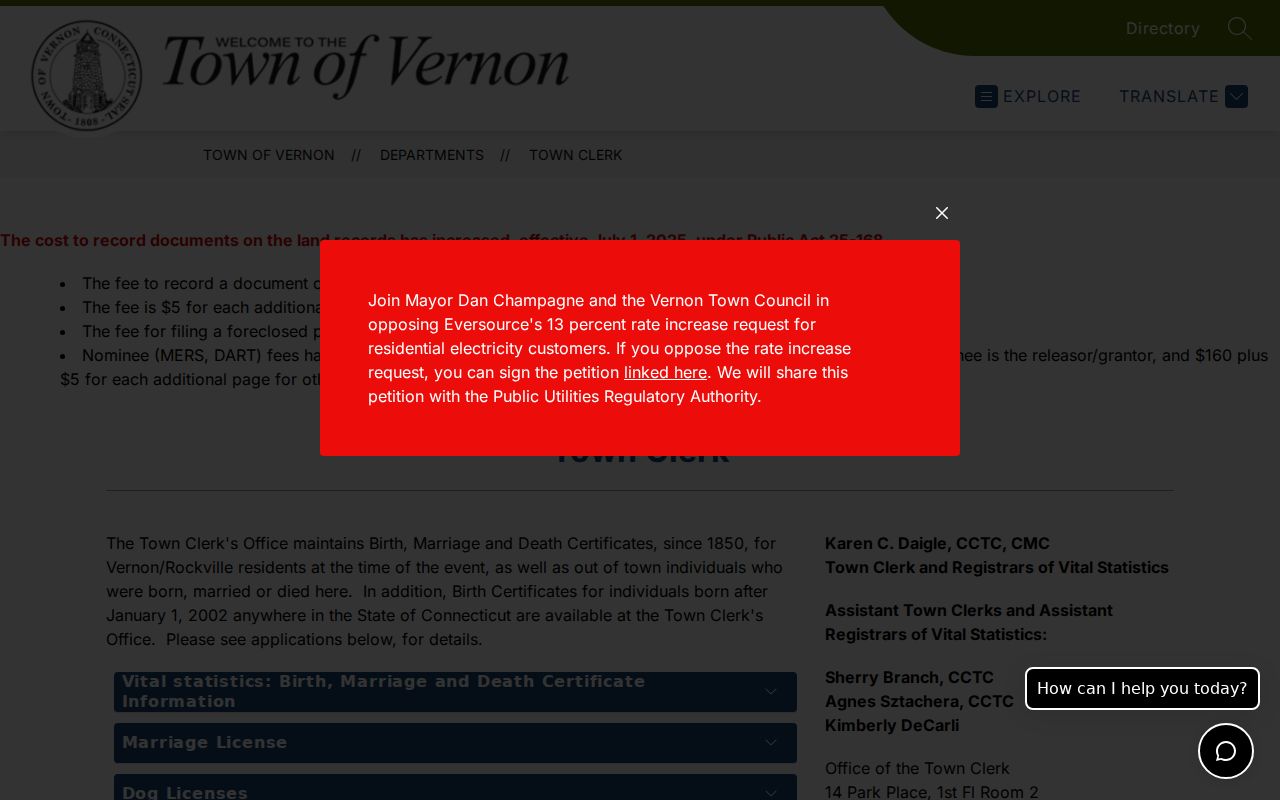
The office route shown here is the required fallback for certified copies, early books, and images that the online index does not display. Call 860-870-3662 or send a focused request with the names, approximate date, book and page, property address, and LSRN.
Note: An index entry identifies a recorded item, but only the instrument supplies its full legal terms and description.
Map Past Vernon Addresses
Street names and numbers can fail long before the land description does. Vernon Historical Society holds research leads for 1855 Rockville maps, three 1869 owner-by-property maps, and later bird's-eye views. The 1869 East, Northeast, and West sheets can link a historic owner or road to a broader area before current parcel numbers existed.
See the Vernon Historical Society map collection beside the captured source below.
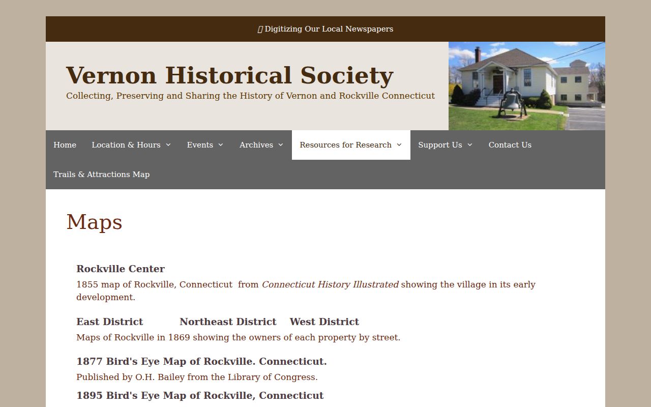
The source image supports a map cross-check, not an automatic match to a modern lot. Compare roads, adjoining owners, deed boundaries, and a dated directory before linking previous residents to today's address.
Market Street Broke the Address Trail
Rockville's Market Street was eliminated during urban renewal in the 1960s. A search for that old address in today's GIS can therefore return nothing even when the historical record is sound. Bridge the gap with deed descriptions, the 1869 maps, Sanborn sheets, and newspaper references. Do not assign an old house number to a modern lot without geographic evidence.
Municipal naming adds another wrinkle. The former City of Rockville consolidated with Vernon on July 1, 1965. Earlier sources may say Rockville, Vernon Center, Talcottville, or Dobsonville. Search those labels as historical geography, then confirm the parcel through the recorded map or deed.
Buildings Behind Vernon Resident Names
Library of Congress Sanborn fire-insurance maps document Rockville in 1885, 1892, 1897, 1903, 1911, 1921, and a later 1946 item. They can show footprints, building use, and changes within mapped Rockville. Complete rural Vernon or Talcottville fire-map coverage was not located, so a blank Sanborn sheet does not mean a building was absent.
Use these maps to ask whether a structure existed in the target year and whether its number or use changed. They rarely prove who lived there on their own. Pair the mapped building with a directory name, a census household, a deed party, or a newspaper notice.
Pair Vernon Directories and Census
Ownership supplies only half of a previous-residents search. A historical directory or public census can place named occupants at or near an address, including people who did not own the land. Rockville and regional directory evidence reaches to the late 1870s and describes resident name, occupation, work and home address, plus a home-phone symbol by 1922. A complete reverse or criss-cross run was not confirmed online, so ask Rockville Public Library about the structure of the exact volume.
- Choose a directory year near the deed transfer or target date.
- Record the exact name, initials, address, symbols, and title of the volume.
- Check the nearest earlier and later editions for arrival, movement, or disappearance.
- Pair the entry with the closest public census using street and household order.
- Confirm the same parcel with a deed, map, obituary, or permit before joining the identities.
The 1950 census is public under the 72-year rule; the 1960 schedules are due in April 2032. An enumeration district is a census taker's assigned area. It helps narrow a street when names or house numbers changed. The full directory runs and reading methods belong to the Vernon city directory collection.
Vernon Newspapers Close the Trail
Local papers can explain why a name appears or disappears. The Tolland County Journal covers 1867 to 1884; Rockville Journal runs include 1885 to 1899 and 1911 to 1968; Rockville Leader has selected years from 1902 through 1964; Tri-Town Reporter covers 1973 to 1984. Rockville Public Library holds microfilm for reader use.
The Rockville Journal digitization project makes 1911 to 1953 searchable while the broader 1911 to 1968 run uploads in phases. Search a surname with the street, mill, civic group, property description, obituary, or anniversary. OCR can misread names, so browse nearby issues or use microfilm when a search looks incomplete.
Confirm Vernon Past Residents
Obituaries, cemetery material, and probate can mark the end of a resident's trail. Ellington Probate District PD12 serves Vernon, and its Probate Case Lookup can provide an estate lead. The case index is not the full file. Contact the court for accessible documents, and compare a decedent's address or heirs with deeds and newspaper dates before deciding the person is the same.
Permits provide a different kind of dated event. Vernon now accepts Building and Zoning applications through OpenGov, but complete public historic coverage was not established. Ask Building by address, project description, permit number if known, and date range. Property Maintenance records may require a targeted written request. A project applicant or tax owner is still not automatic proof of occupancy.
Rate Each Vernon Resident Link
A strong link joins the same legal parcel, dated address, and full name across two or more independent sources. A medium link may rely on a directory and nearby census entry without a parcel reference. A weak lead includes only a matching surname, mailing address, or undated story. Label those differences instead of smoothing them into one narrative.
Keep a research log with the record title, custodian, date viewed, book and page or LSRN, exact spelling, image status, and reason for the match. This is especially useful when Vernon and Rockville labels overlap or a map covers only one part of town.
Lawful use. Trace Vernon previous residents for house history, genealogy, heirs, or personal curiosity. Do not use the findings to track, threaten, harass, or harm a living person.